
X-PLORE is available when working with GNSS receivers with imaging or with IMU.
-
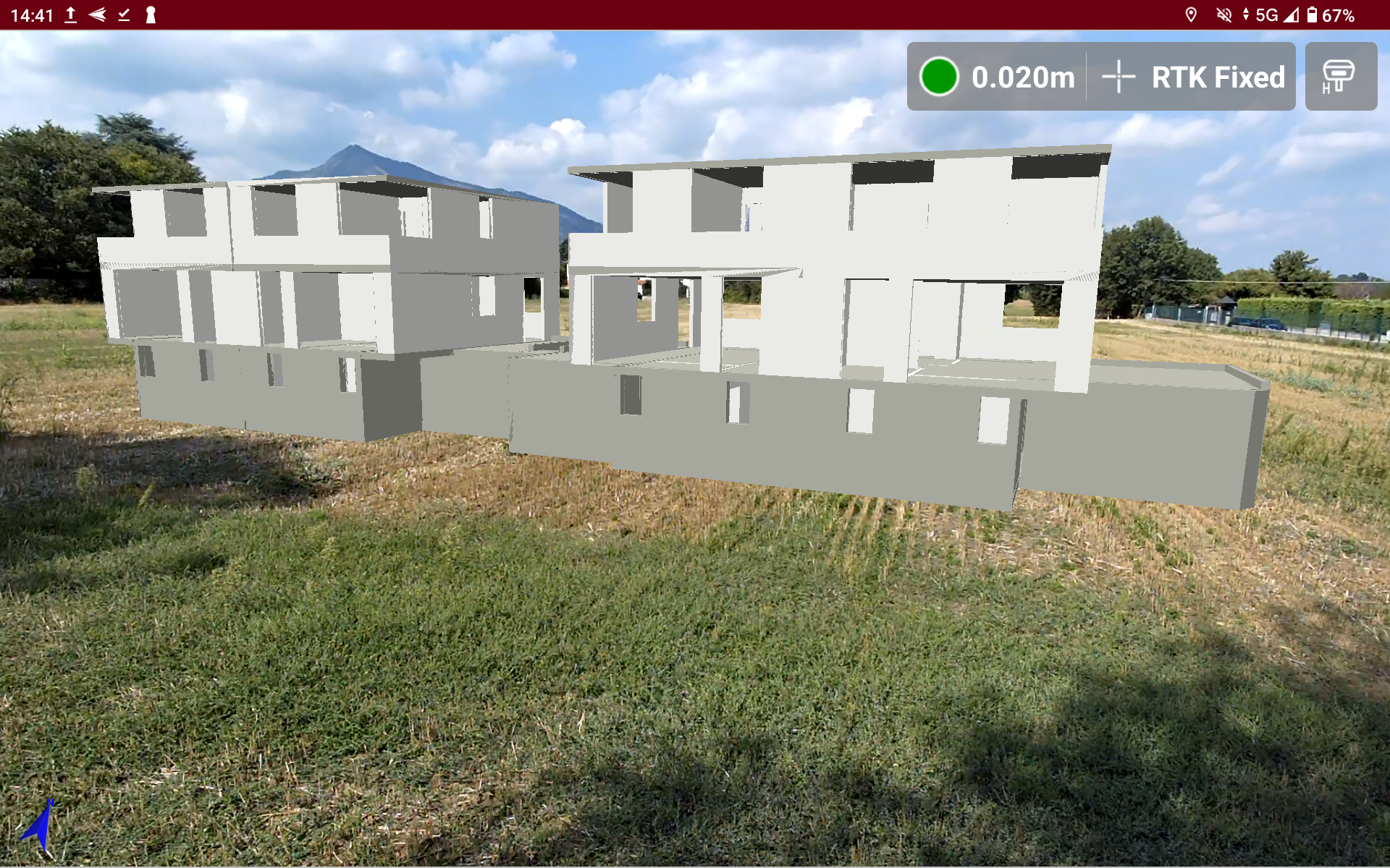
X-PLORE is a function that allows to visualize CAD entities, IFC models, surfaces using augmented reality.
-
The function offers different tools and visualization modes.
-
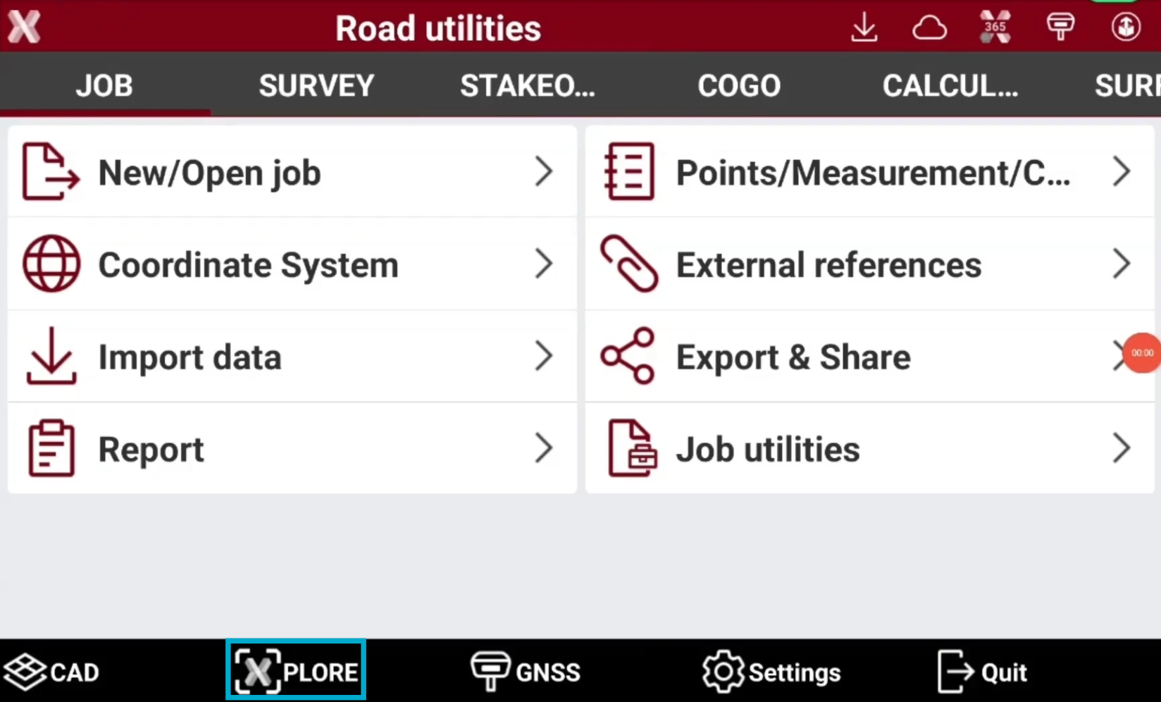
To open X-PLORE press the corresponding button in the software toolbar.
-
This chapter covers the following topics:
-
Interface: learn how X-PLORE interface works to visualize 3D entities with the augmented reality.
-
Project manager: learn how to utilize the project manager to show/hide layers and other entities.
-
Tools: learn how to use the specific X-PLORE tools to localize in the AR an IFC model or generate pipes for an optimal field visualization.
-
Settings: learn how to change the function settings.
-