
-
The coordinate system defines the parameters and methods used for calculations, including the transformation of geographic coordinates obtained from GNSS instruments.
Modification of the coordinate systems parameters causes an automatic recalculation of the coordinates of the GNSS points in a job.
-
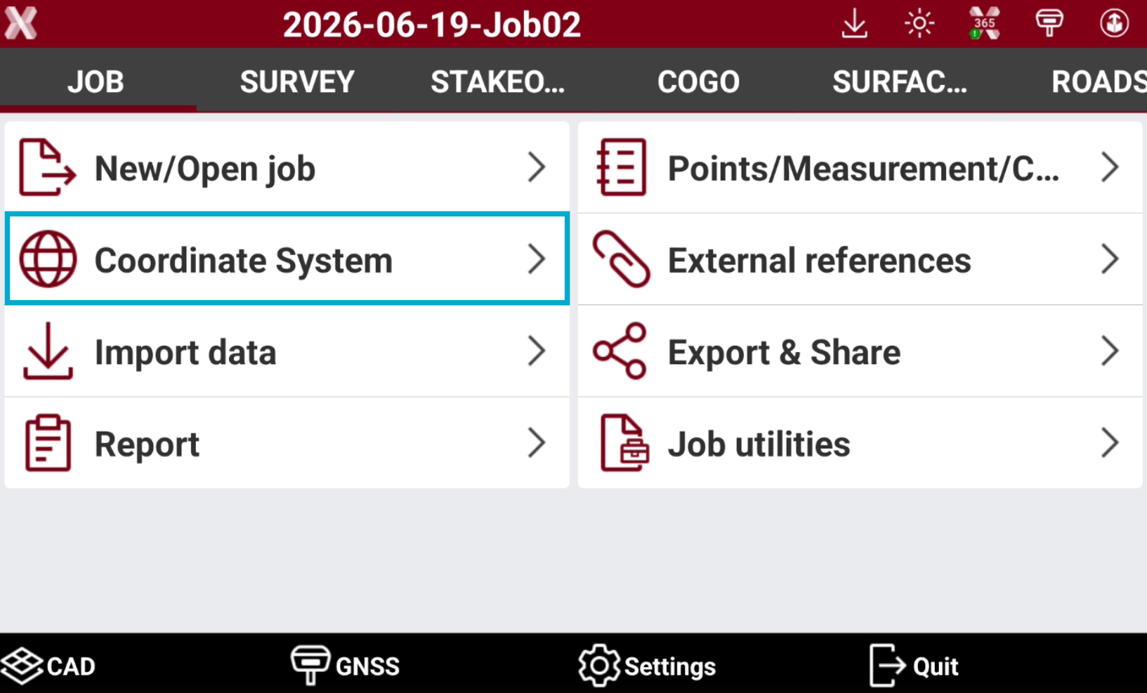
The commands related to coordinate systems can be accessed from Coordinate System page.
-
Open the Job tab.
-
Select Coordinate System.
-
This chapter covers the following topics:
-
Cartographic system: learn how to select, view and create cartographic coordinate systems, including projections, datums, ellipsoids, and transformation parameters.
-
GNSS localization: learn how to select and perform GNSS localization by calculating transformation parameters from control points to match GNSS coordinates with a local coordinate system.
-
Ground to grid scale factor: learn how to manage sea level and grid corrections.
-
Coordinate system tools: learn how to use the available tools for coordinate systems including import/export.
-